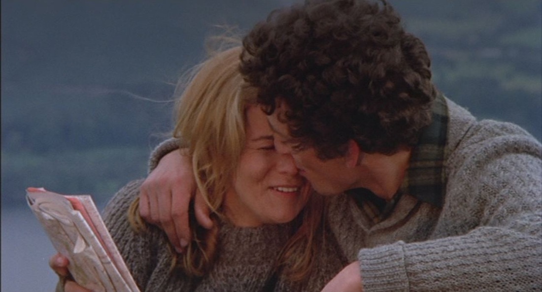
   There are two map moments, an idyllic prologue with Tommy's parents as figures in a landscape, with a map that presumably situates that landscape, then, towards the climactic end, Tommy's stepfather with a map signifying world domination. 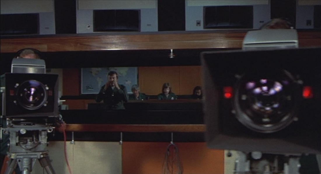 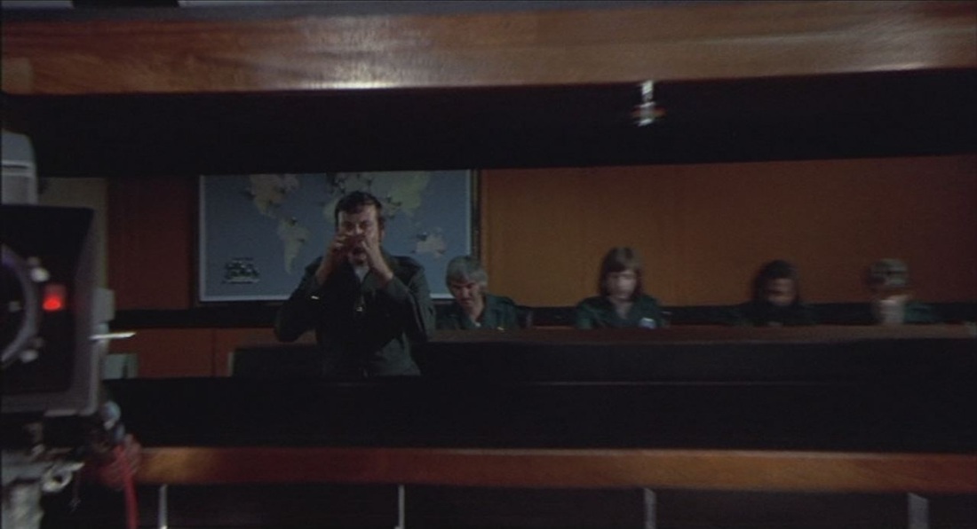 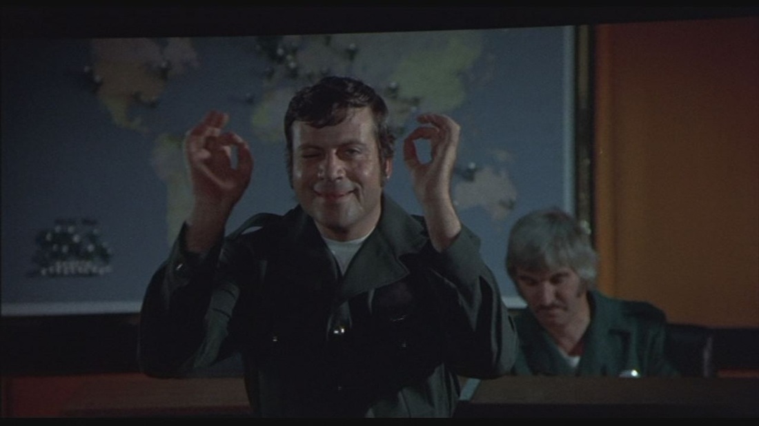 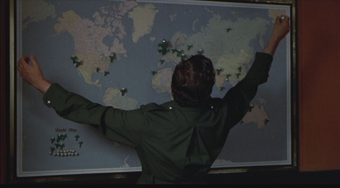 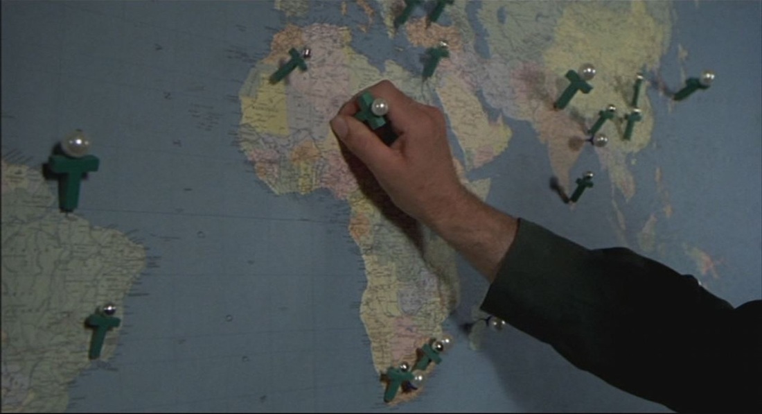 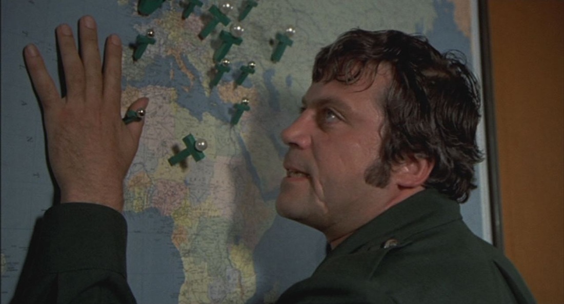 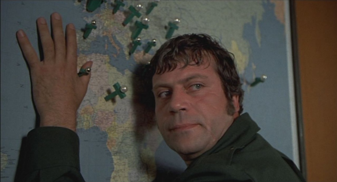 See here for Ken Russell links, 'in his magnificent memory', at Film Studies For Free.
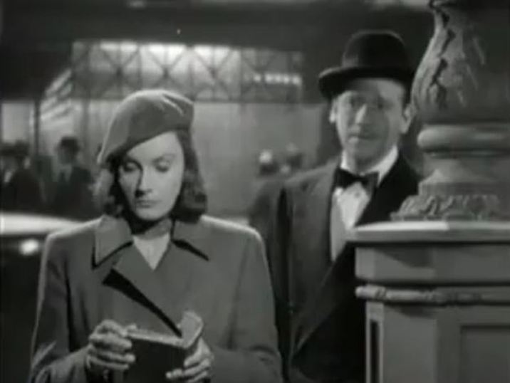 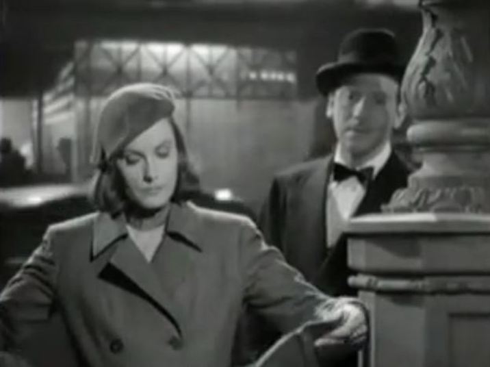 Leon: Can I be of any assistance to you? Ninotchka: You might hold this for me. Leon: I’d love to. 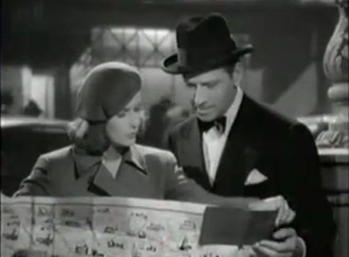 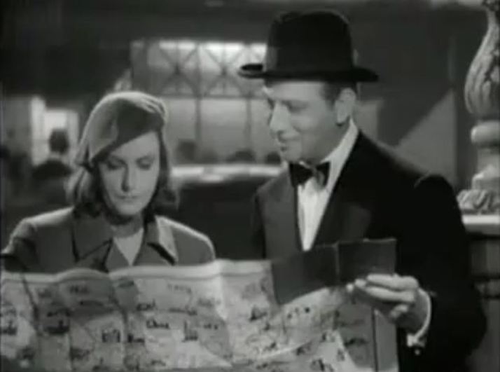 Ninotchka: Correct me if I’m wrong. We are facing north, aren’t we? Leon: Facing north? Well now, I’d hate to commit myself without my compass. Pardon me, are you an explorer? Ninotchka: No, I am looking for the Eiffel Tower. Leon: Good heavens, is that thing lost again? Oh, are you interested in a view? Ninotchka: I’m interested in the Eiffel Tower from a technical standpoint. Leon: Technical? No, no, I’m afraid I couldn’t be of much help from that angle. You see, a Parisian only goes to the Tower in moments of despair to jump off. Ninotchka: How long does it take a man to land? Leon: Now isn’t that too bad. The last time I jumped, I forgot to time it. 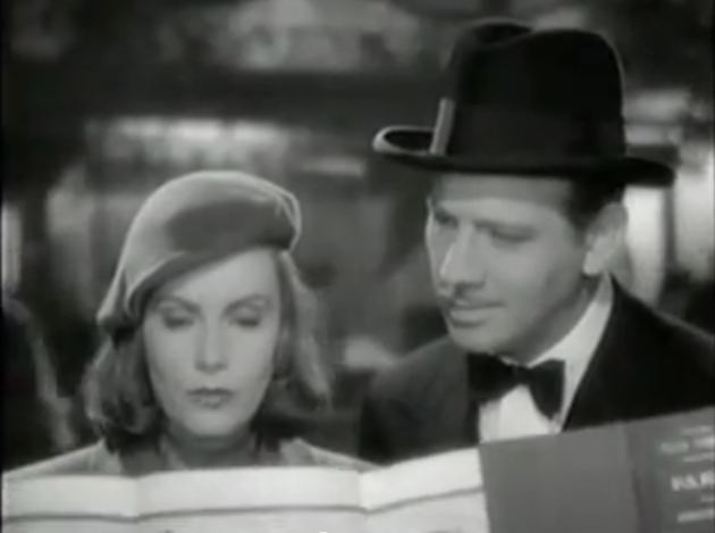 Leon: Let me see now, the Eiffel Tower - ah, your finger please? Ninotchka: Why do you need my finger? Leon: It’s bad manners to point with your own. There, the Eiffel Tower. 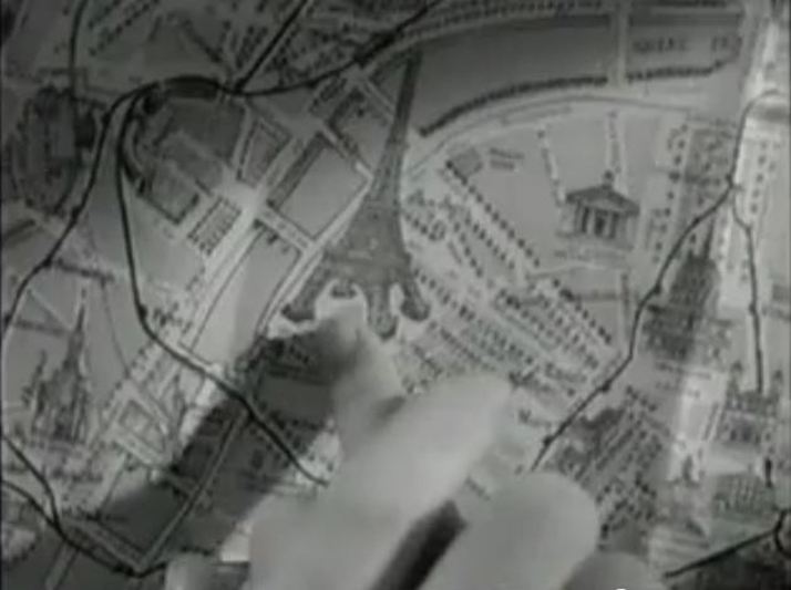 Ninotchka: And where are we? Leon: Where are we? Now let me see. Where are we? Ah, here we are. There you are, and here am I. Feel it? 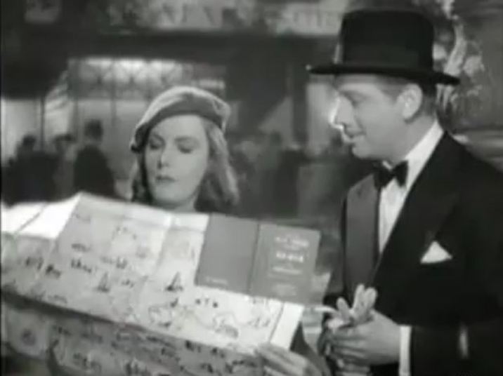 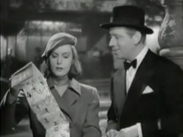 Ninotchka: I am interested only in the shortest distance between these two points. Must you flirt?
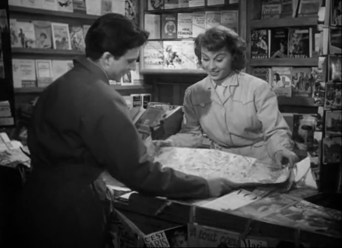
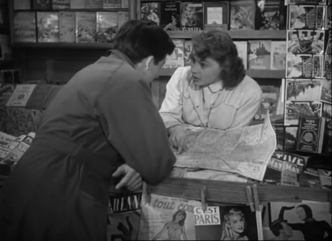
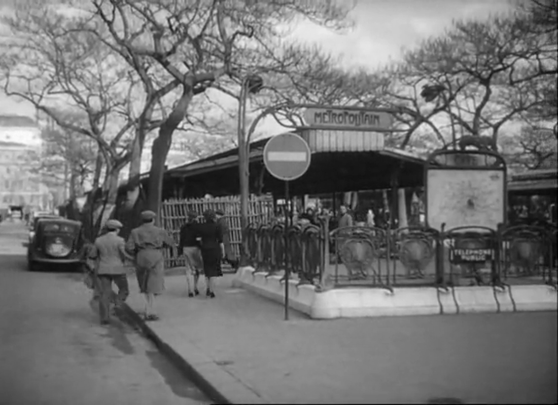
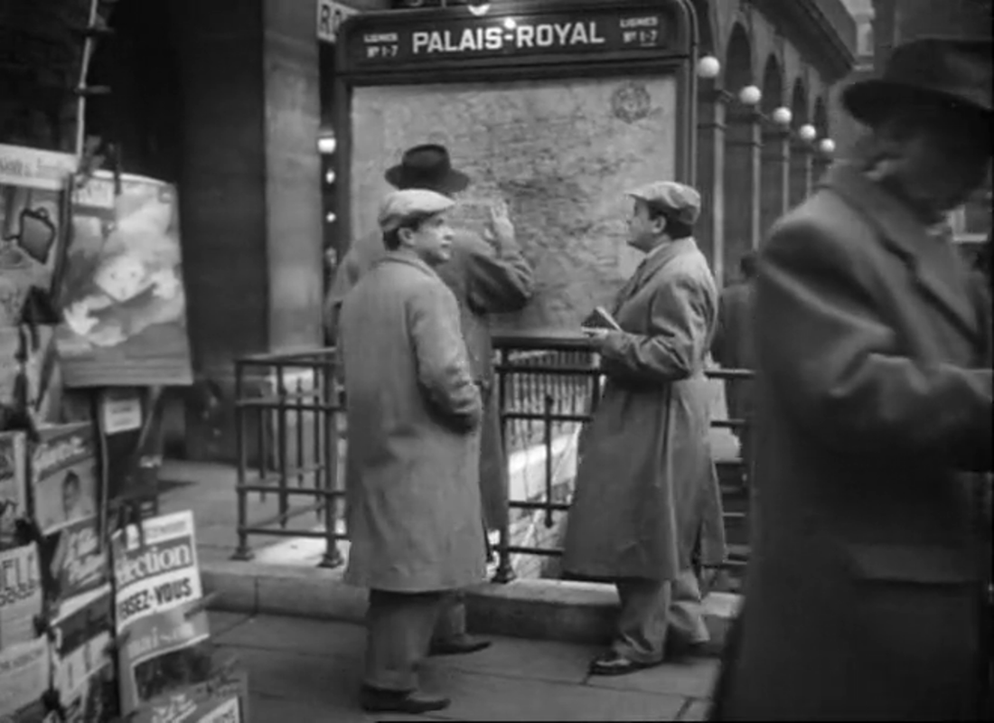
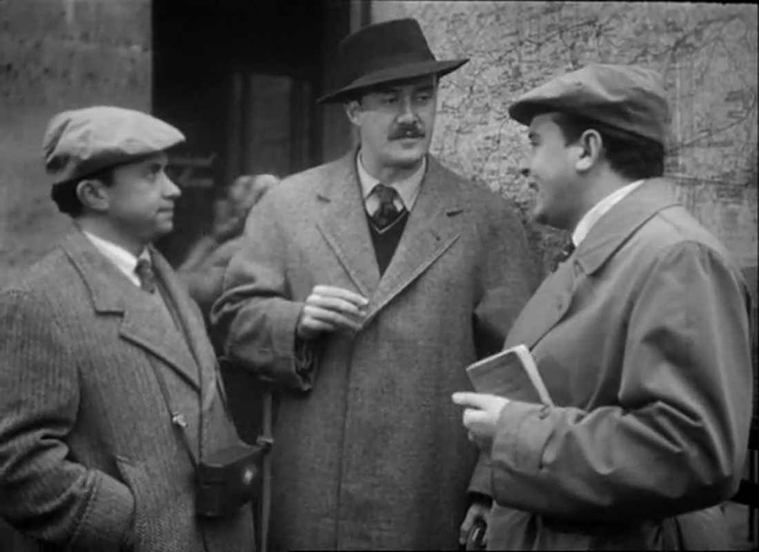
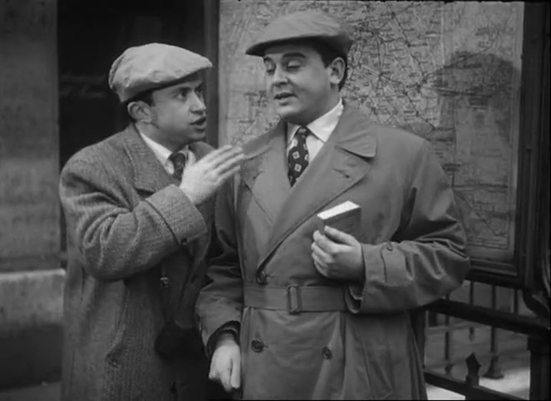
Leon: Well, I don’t have to, but I find it natural. Ninotchka: Suppress it. Leon: I’ll try. Ninotchka: For my own information, would you call your approach toward me typical of the local morale? Leon: Mademoiselle, it is that approach which has made Paris what it is. Ninotchka: You’re very sure of yourself, aren’t you? Leon: Well, nothing’s happened recently to shake my self-confidence. Ninotchka: I have heard of the arrogant male in capitalistic society. It is having a superior earning power that makes you that way. Leon: A Russian! I love Russians! Comrade. I’ve been fascinated by your Five-Year Plan for the last fifteen years. Ninotchka: Your type will soon be extinct. 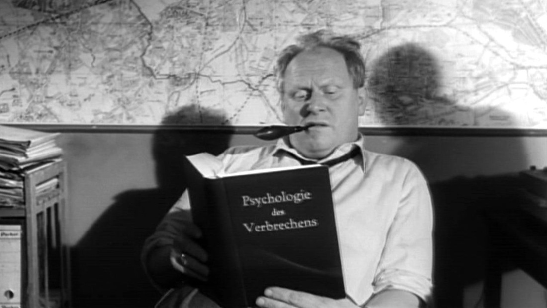 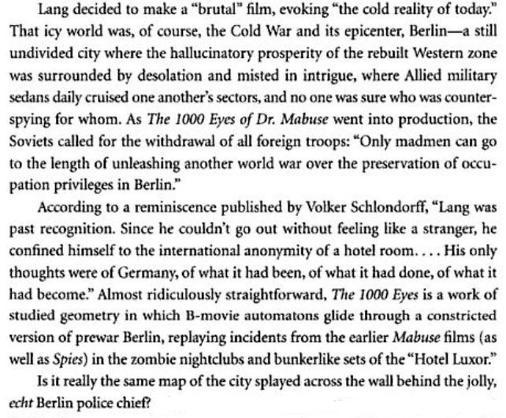 J. Hoberman, The Magic Hour: film at fin de siècle (Philadelphia: Temple University Press, 2003), p.11. Hoberman's question is the one I've been asking. Is that a map of Berlin behind the police chief? I can't seem to match it to any maps I can find of Berlin c.1960, or from an earlier date. Any suggestions appreciated (email here) 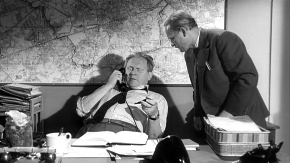  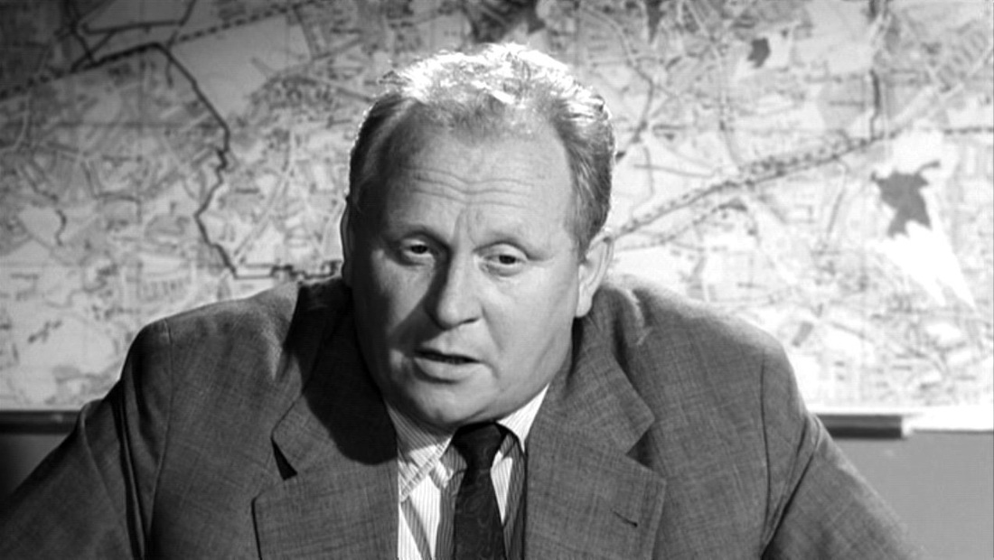 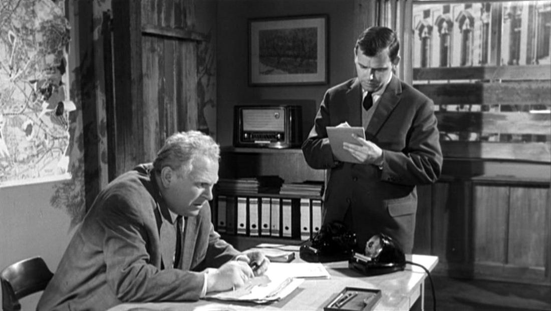   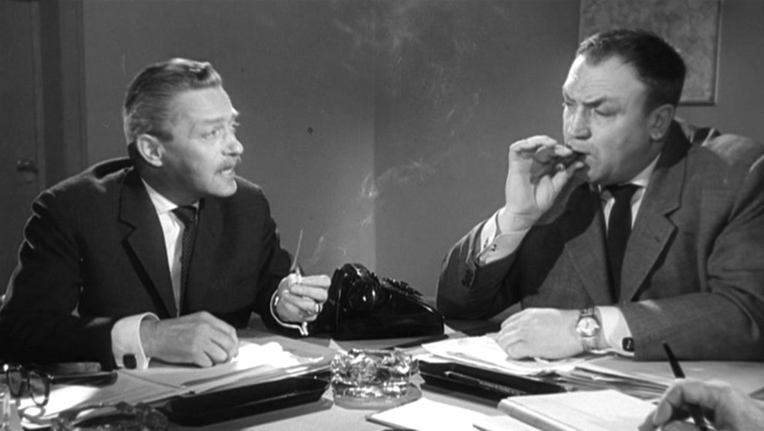 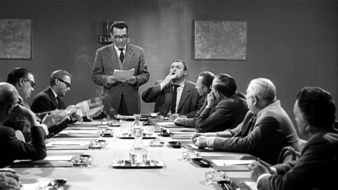 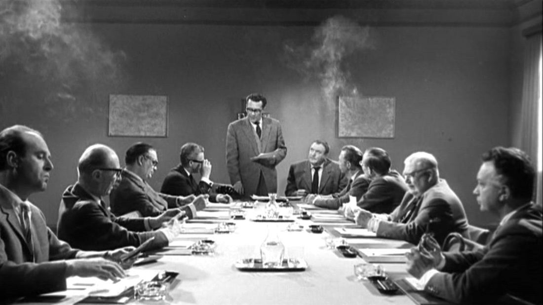  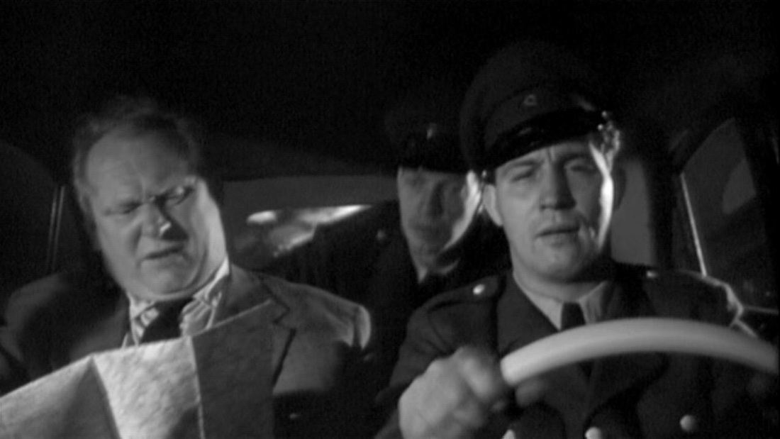 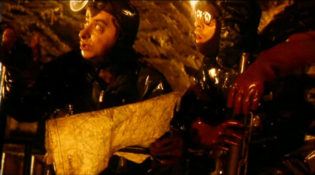 A question, rather than a comment. The sewer dwellers use maps to find their way around, on one of which can be read the identifier 'CAMPS DE C...'. Are we to understand this to mean 'CAMPS DE CONCENTRATION', and is this a part of the film's inscription of historical trauma? Also, can this be a real map of camps somewhere, or has the identifier been added? (I'd guess the latter.) 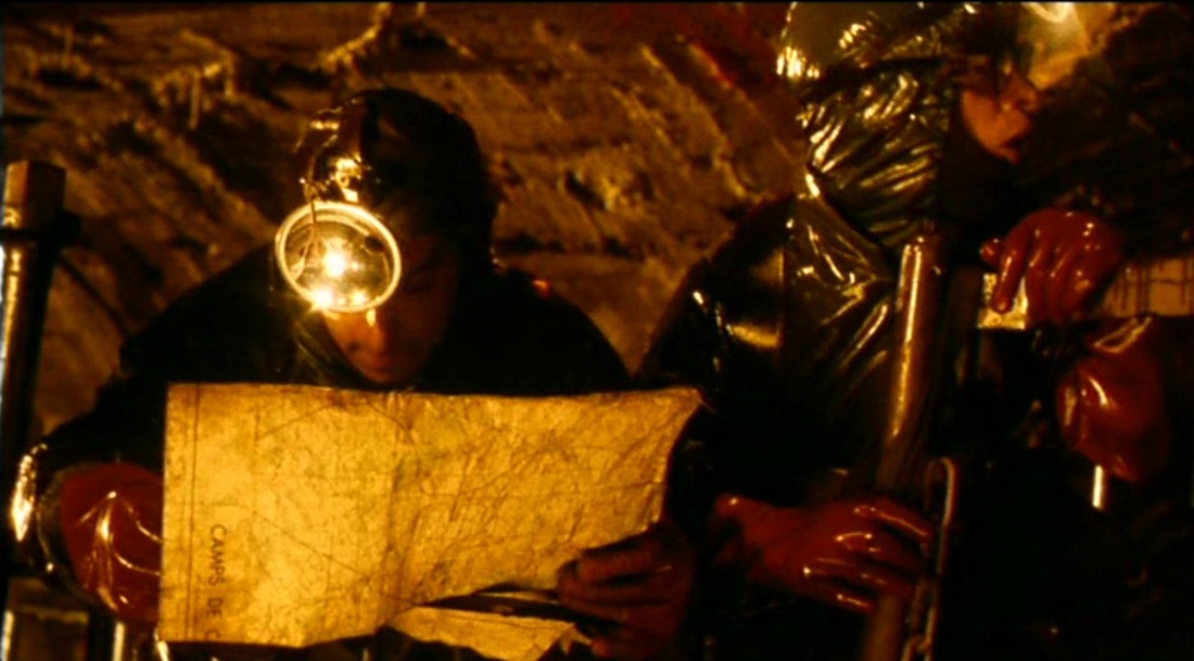 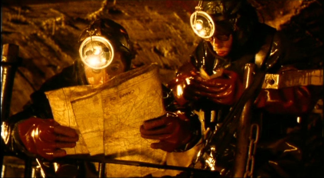  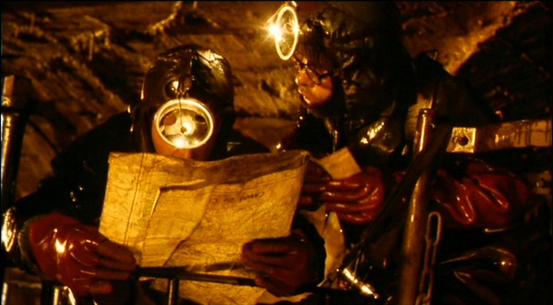 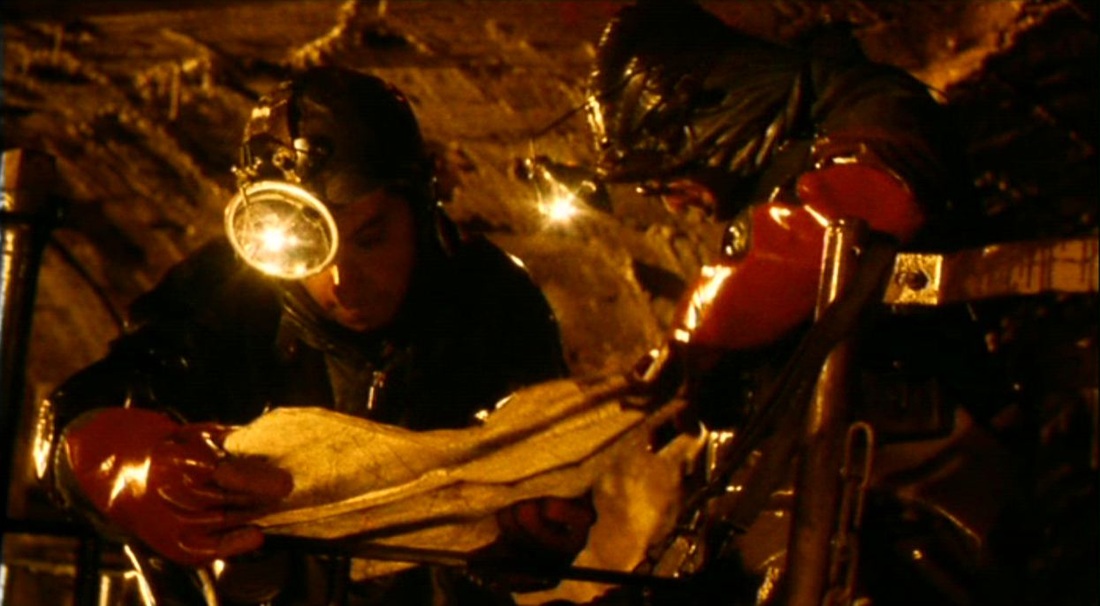  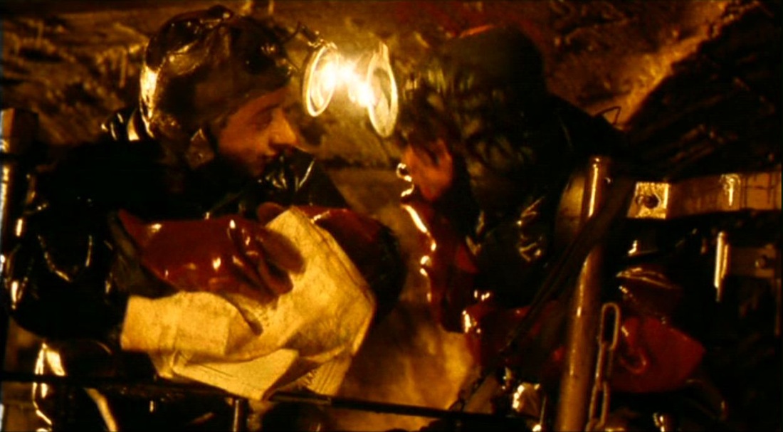  John Rogers’ film presents the perambulating Nick Papadimitriou, ‘deep topographer’, as he surveys his domain (he is the unelected Chair of the non-existent Middlesex County Council, see here). Maps, along with signage and landmarks, are clearly part of the film’s own deep topography, but Rogers doesn’t rely on them to show how Nick Papadimitriou does his chorographic work. He shows us instead Nick walking, Nick stopping to gesticulate, Nick turning to look in another direction, Nick pointing, Nick walking on again…. All are means of situating us in a territory defined more by its moments of retrieved memory than by the functional lines that cross it. n.b.: Given his passion for the North Middlesex/South Hertfordshire Escarpment (see here and here), I’d say Nick Papadimitriou was less of a topographer than a chorographer, chorography being ‘the art of describing or mapping a particular region or district’. (You can watch The London Perambulator in full here.)        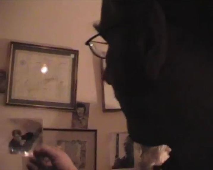 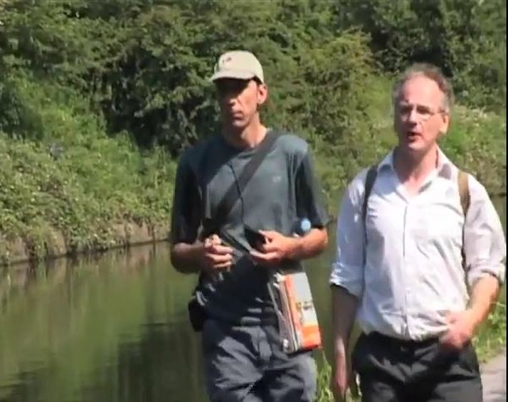   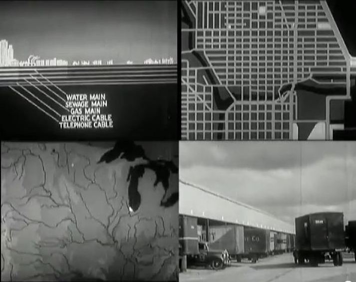 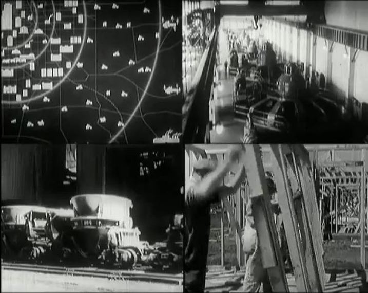 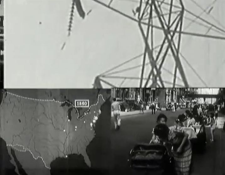 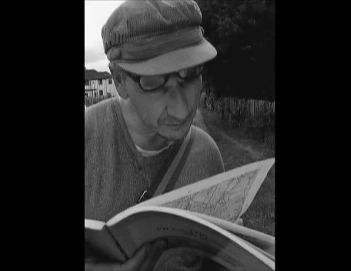 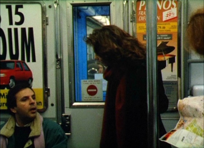 In 'the Benches of Paris', the second of the three sketches in Rohmer's film, a man and a woman discuss at length what it is to live in the centre of Paris or in the suburbs. We see them at intervals in various Paris locations, all of which are identified for us by a narrating notebook, by dialogue or by signage in the mise-en-scène: 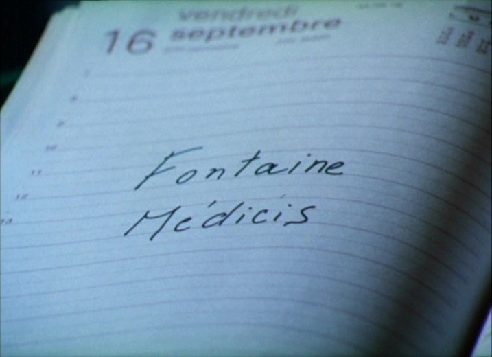 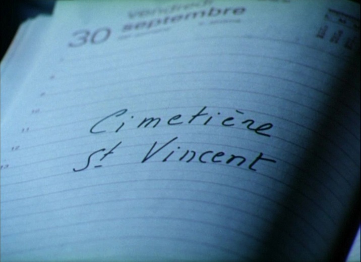 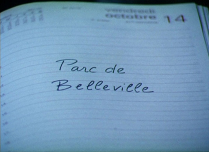 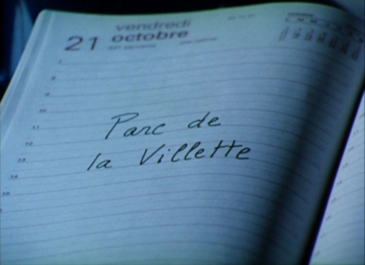 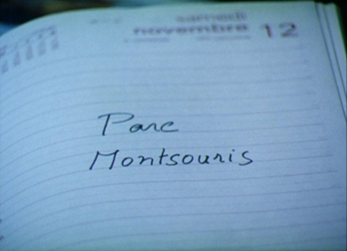 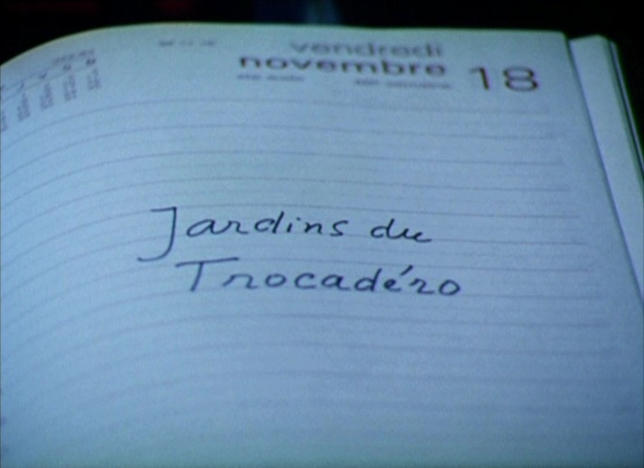 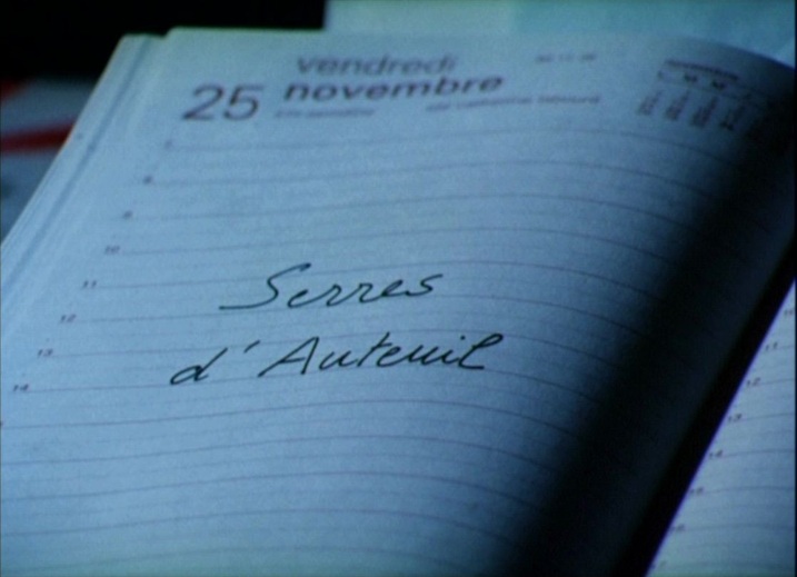 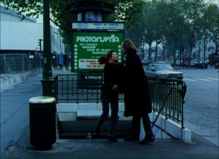 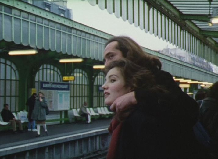 The climax of their story comes when they pretend to visit Paris as tourists, meeting at a railway station (the Gare de l'Est) as if they had just arrived in the city, and heading for a Montmartre hotel to spend the night. In the métro on the way there, they act as if they don't know Paris, asking a local 'Is Montmartre this way?', then she looks out of the window (it's an overground section of the métro) and asks 'Where's the Eiffel Tower' (which is on the other side of the city). The man plays the game by pointing to the wrong place on his map. As Parisians, they find all this very funny. 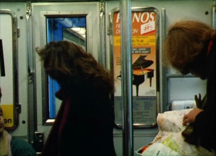  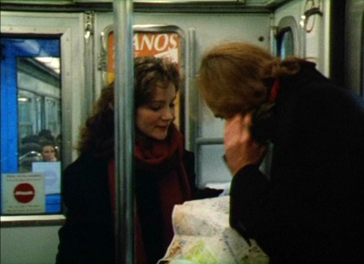 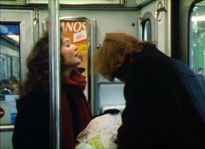 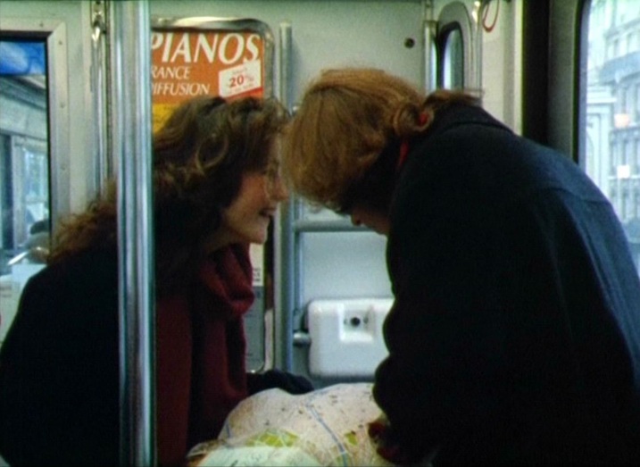 (There are more images from Les Rendez-vous de Paris in my slideshow of Parisian stairways, here.)
148/ Cross of Iron (Sam Peckinpah 1976): all the maps, & Breakthrough (Andrew V. McLagen 1979)2/9/2011  Unusually for a war film, the maps in Cross of Iron do very little to situate the action, and for a long time we only know vaguely where on the Eastern Front this German unit is (Compare with other war films here, here and here). The first map we see is being studied by Brandt (James Mason) as he muses in general terms about 'this damned country', adding that 'one of these days this land will swallow us up': 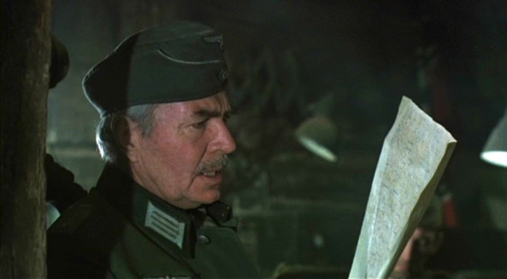 Later in the same scene, Captain Stransky (Maximilian Schell) is impressed at being offered a glass of German wine: 'a 1937 Moselle in the southernmost corner of Russia', which allows Brandt to brood again about where they are: 'A bottle of Moselle is no more out of place in this region than we are ourselves'. The film's topographical focus is largely this, that the Germans here are out of place. This room is littered with maps, none of which has legible detail: 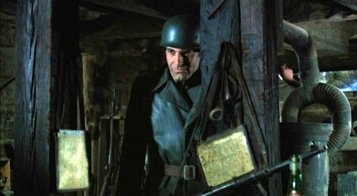 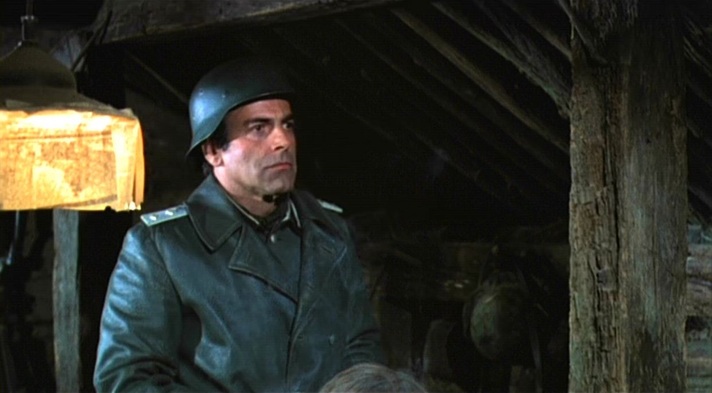 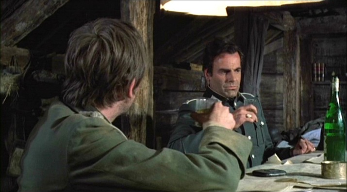 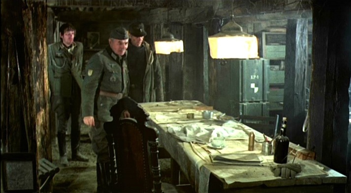 Much later, when Sergeant Steiner (James Coburn) is with his unit in 'no man's land', he consults a map but again we see nothing that identifies the exact locale: 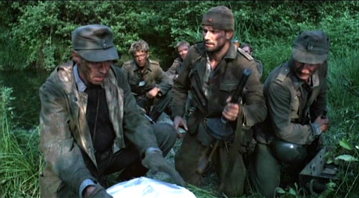 Eventually, the film offers the expected scene in which operations are indicated on a map, usually for the benefit of both characters and spectators. The map has legible detail, but only someone familiar with the 'Taman Offensive Operations' during the Battle of the Caucasus in 1943 would be able to situate the German unit we have been following. In fact this map is examined only for the benefit of the characters. A larger view of this map is not much more informative, nor are Brandt's world-weary comments as he points out the improvised train line on the map: 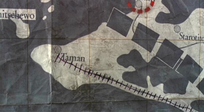 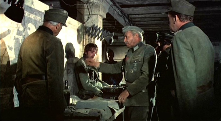 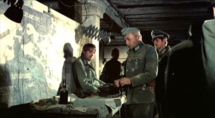 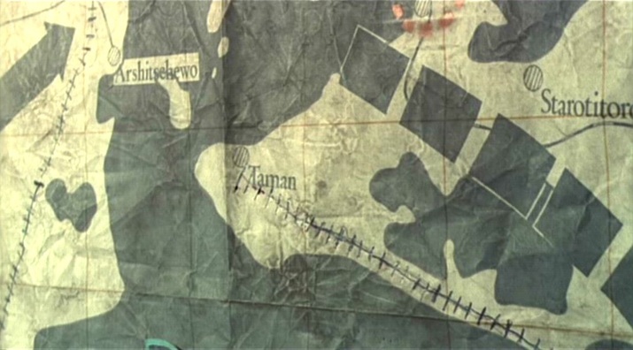 A last map in the film is being used by Russian women soldiers when they are attacked by Steiner's unit. Like the previous map, it has been modified in accordance with the immediate military situation. What we can see of the map are only these modifications: 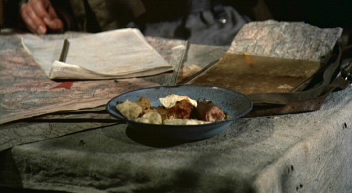 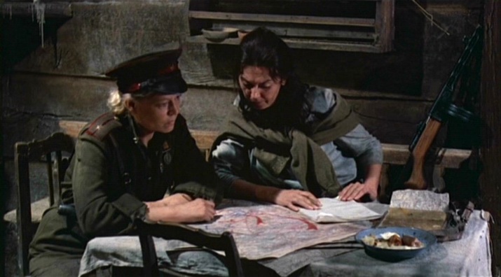 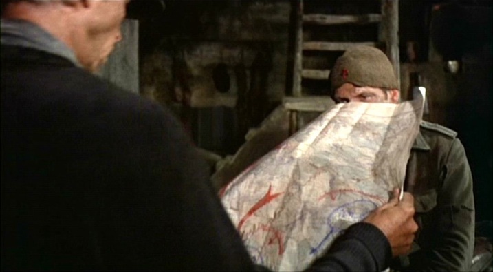 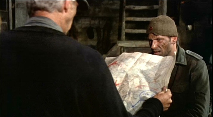 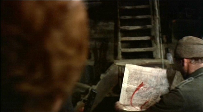 Cross of Iron is admired - especially by enthusiasts of militaria and weaponry - for its accuracy of detail, and more broadly for its realism. The use of maps as décor is a conventional realism, but the lack of a discursive topographical frame, leaving the spectators in greater than usual confusion as to where they are, is a refinement of realism. Andrew V. McLagen's 1979 sequel to Cross of Iron is much more conventional in its presentation of maps, especially when its action shifts from the Eastern to the Western Front. It also has a voice over giving an historical overview of the action presented, alleviating spectator confusion. (Breakthrough is not generally admired for its realism, nor for its accuracy of detail.)  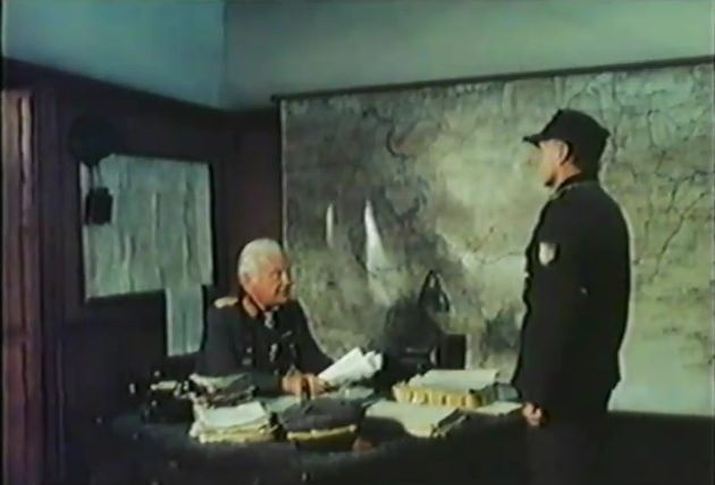 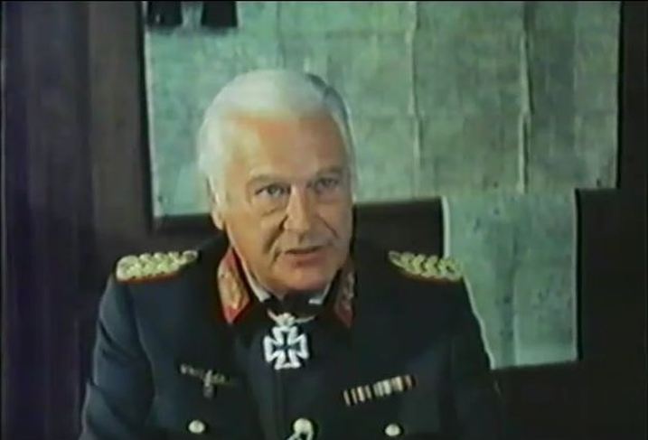 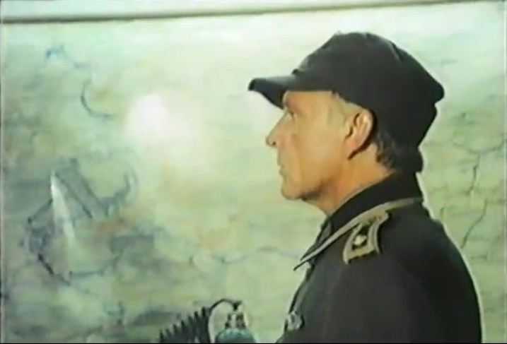 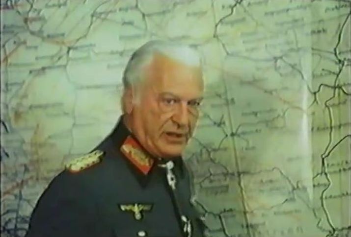 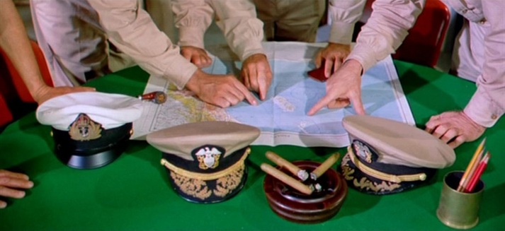 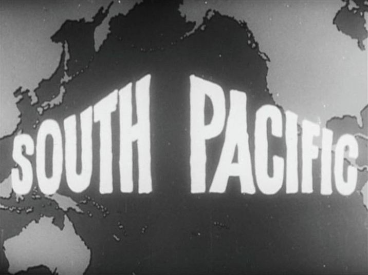 The map above, from the credits of a contemporary newsreel about the making of the film, allows for several possibilities as to the film's specific Pacific location. The Hawaiian island Kaua'i (hidden by the letter 'P') provided most of the exteriors for South Pacific, and is now a prime site of cine-tourism, with guided visits available to the shoot's locations. The narrative is set further West and South, with the maps in the film's principal map room pointing us to the Solomon Islands and Vanuatu (just below the letter 'T' in 'South'): 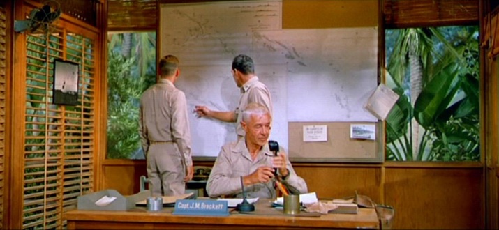 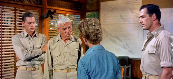 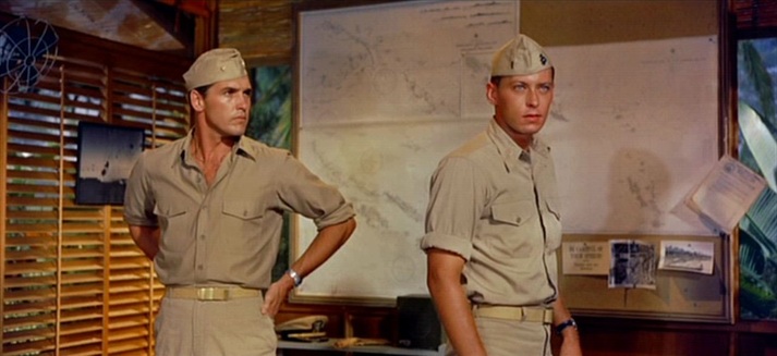 When the action builds towards a climax involving one specific island, a map of it is scrutinised: 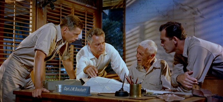 A later scene shows the same map being looked at even more closely. Looking at it closely myself, I'd say this is the island called Pulau Siberut, off the west coast of Sumatra, opposite Padang. That would make no sense topographically, but at this point in the film the relevant detail is that it is an island, simply:  The action of various parties is shown as coordinated through their reference to related maps: 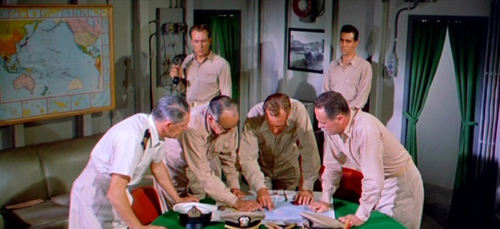 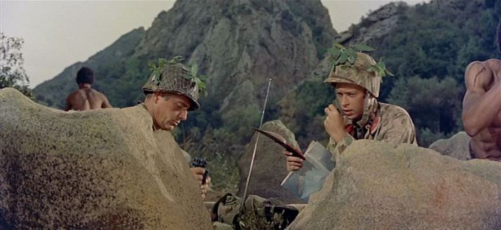 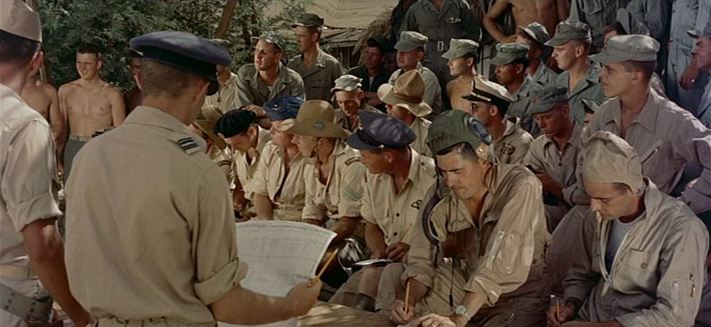 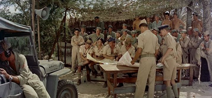 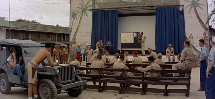 There is one more map in the film, an element in the décor of the Thanksgiving Show put on for the entertainment of servicemen: 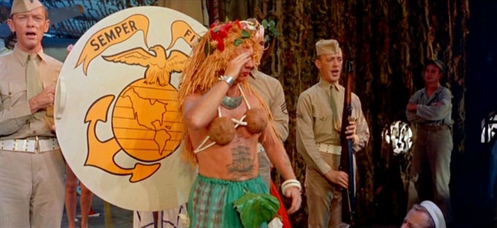  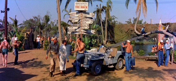 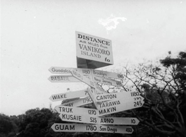 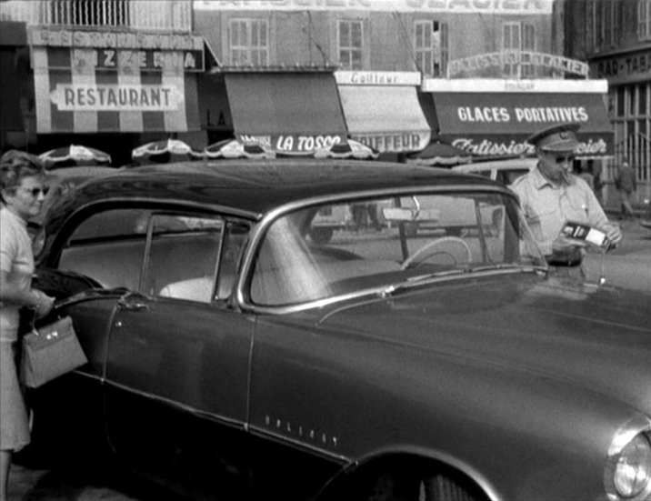 The map of the film can be very exactly drawn, from its opening in Marseille, through Michel’s journey up to Paris and his movements in and around the city, to the film’s close at the junction of the rue Campagne Première and the boulevard Raspail. 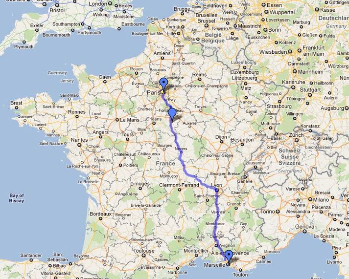 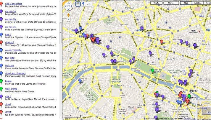 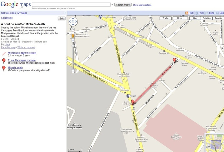 The maps in the film are incidental, of interest only to the collector. The first is in the hand of the American officer whose Oldsmobile 88 Michel will steal (see the IMCDB here for more detail on the cars in A bout de souffle). The officer’s wife has in her hand a camera: it's a rare pleasure to find a film with map and camera in the same frame (see here the four other cameras in A bout de souffle). 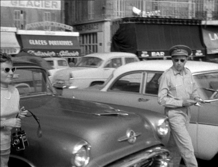 There are several maps in the travel agency on the Champs Elysées where Michel goes to find Tolmatchoff, all adjuncts of the film’s preoccupation with the world beyond France: 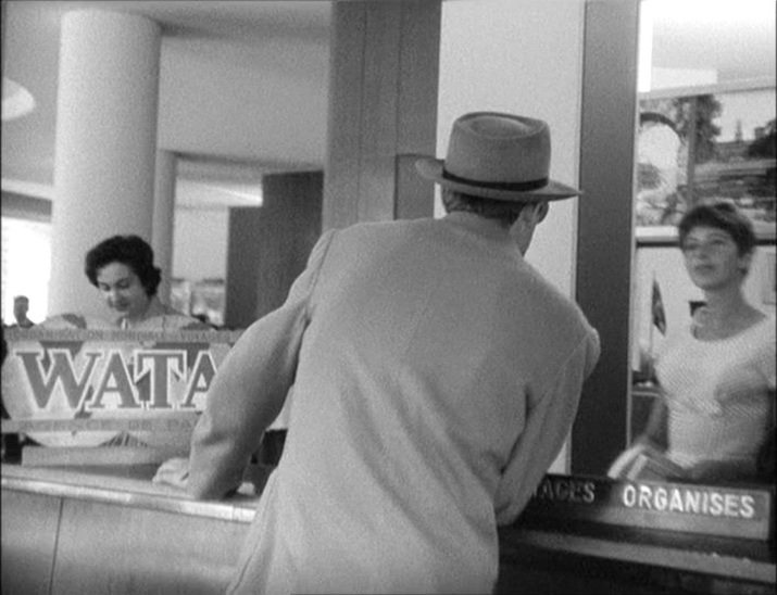 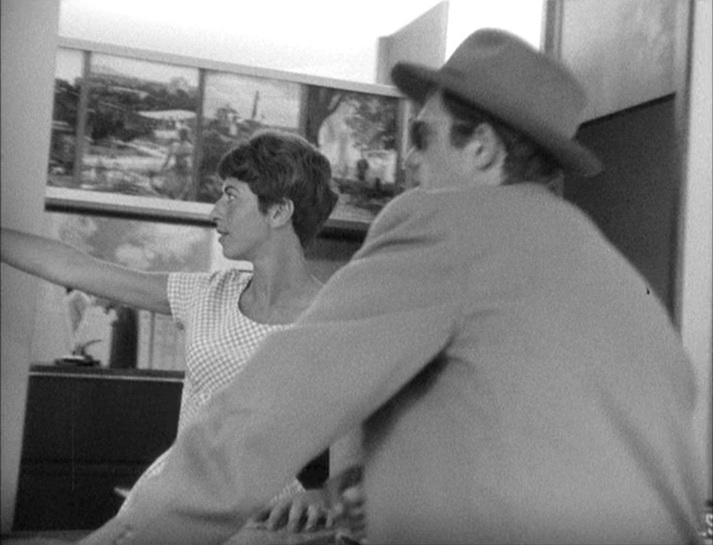  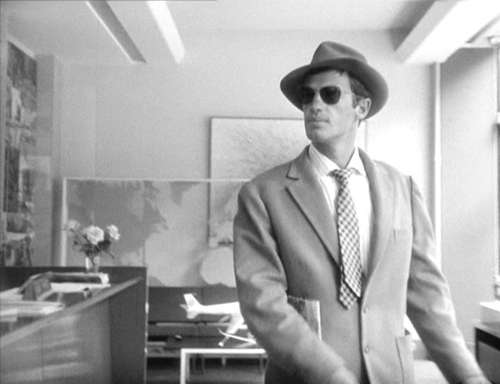 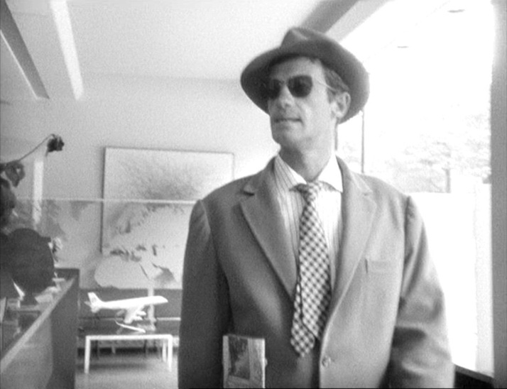 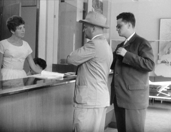 The last map is in the film's last interior, the apartment on the rue Campagne Première where Michel and Patricia spend the night. The décor of the bedroom includes a blow up of an antique ‘perspective’ map of Paris: 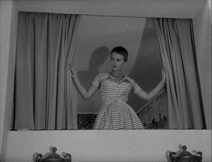 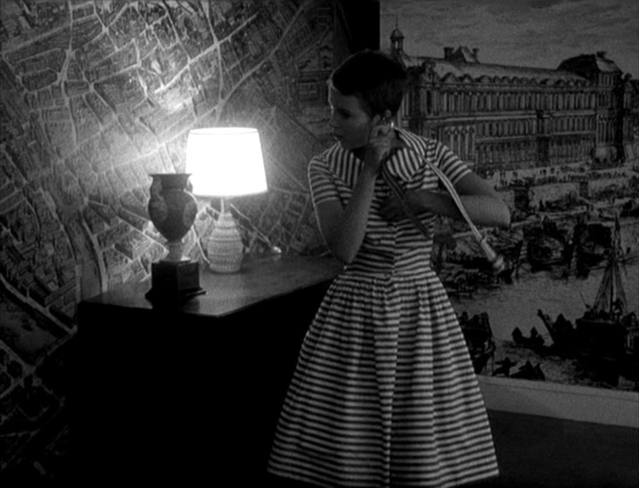 This seems to have been a fashion. A similar décor occurs in another Belmondo film from the same year: 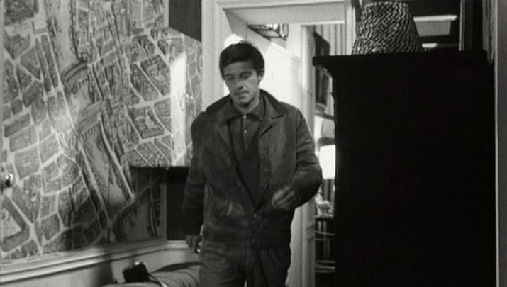 Les Distractions (Jacques Dupont 1960)  The third in the Harry Palmer series is still deriving material out of its difference from Bond. The map of London on the wall of Palmer's dingy office contrasts with the world maps on walls in early scenes of Bond films. Now a private detective, Palmer's sphere of activity is local, not global. 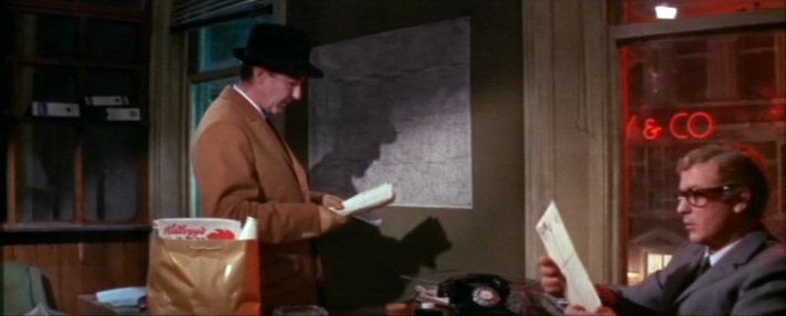 When Palmer does travel, he faces the un-Bondlike challenge of finding on a map an address in a phone book. 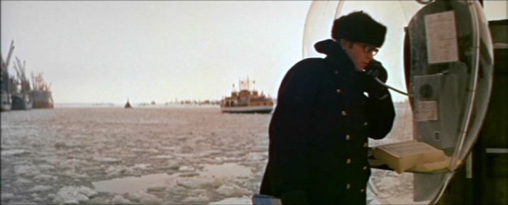 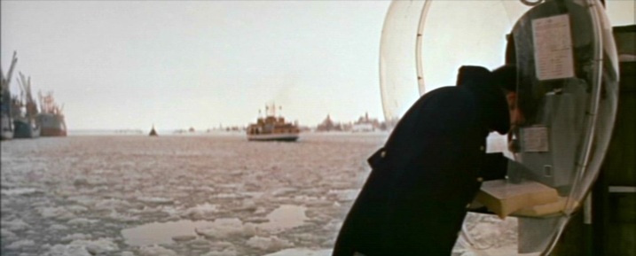 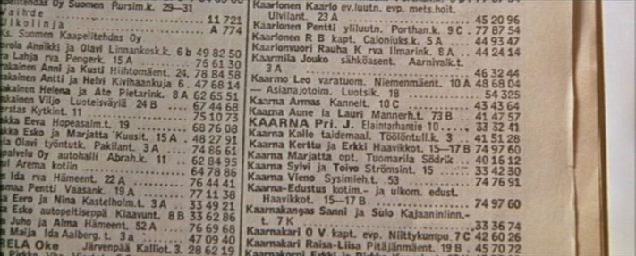 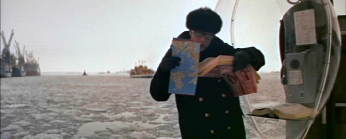 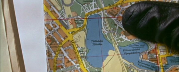 Ou maps pull back from this exactly pinpointed address in Helsinki to a more general view of the Baltic region, and even when - in Ed Begley's centre of operations - we have the familiar world map that signifies megalomania, the Baltic region is marked by a concentration of lights. 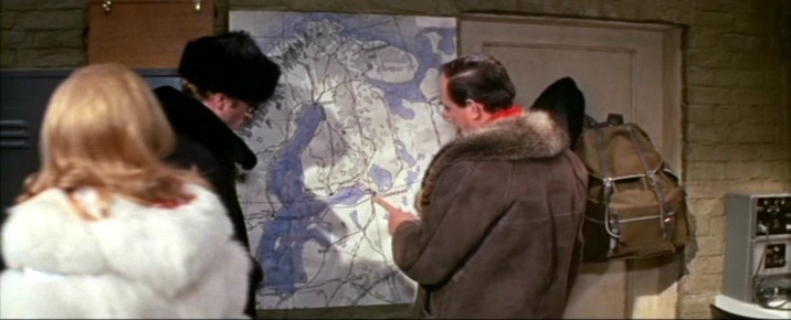 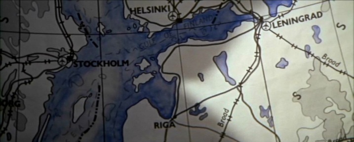 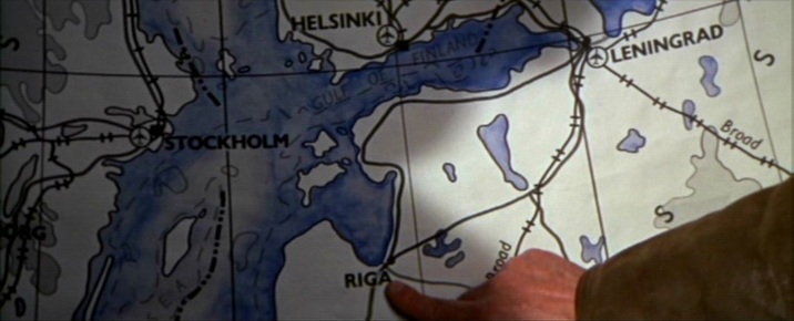 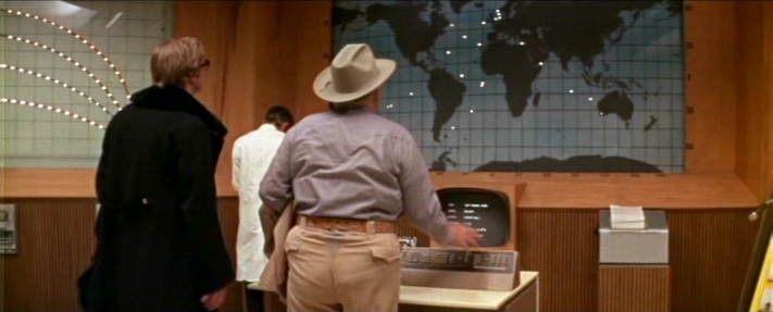 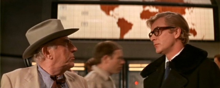 In a further contrast with the Bond corpus, Syd Cain's operations rooms in Billion Dollar Brain are deliberately modest affairs compared with, for instance, the spaces created by Ken Adam for that year's Bond film (even if that is clearly the same map on the wall, above and below - both scenes were shot at Pinewood) : 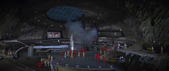 You Only Live Twice (Lewis Gilbert 1967) 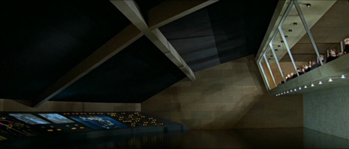 You Only Live Twice (Lewis Gilbert 1967) For its climax Billion Dollar Brain shows opposing forces plotting the final confrontation, each on their own maps: 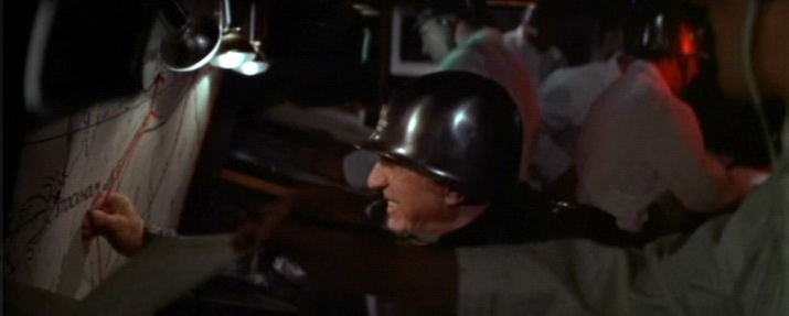 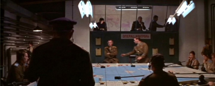 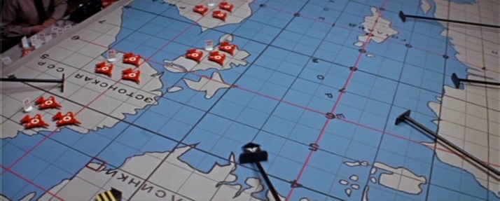 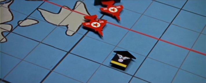 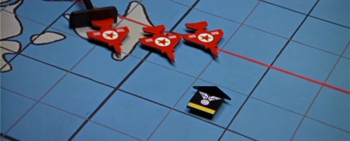 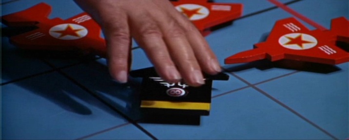 These last two map scenes both show humans attempting to arrange the world my arranging things on maps. This is the complement of the film's nature motif (as in the Alexander Nevsky-like climax on the ice). Human endeavour vs untamable nature is an opposition neatly foregrounded in this dissolve from the penultimate to the last sequence: 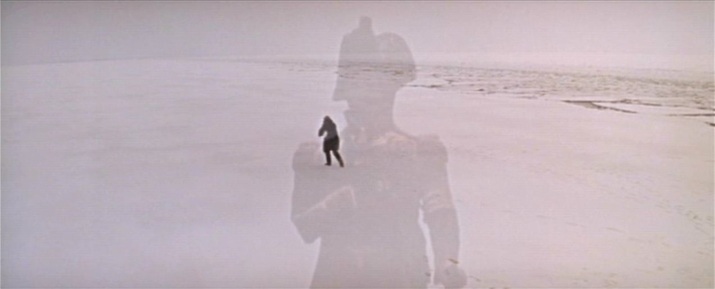 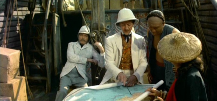 This map scene is from the out-takes of the film. Otherwise what we have are the globe in the prologue (with Méliès's Voyage dans la lune incorporated), and two globes in the body of the film: 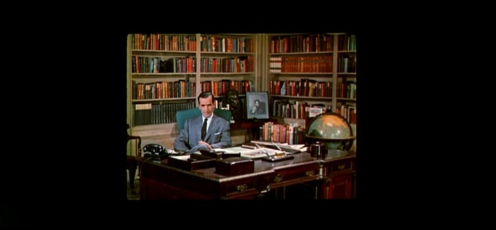   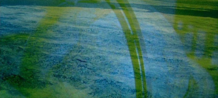 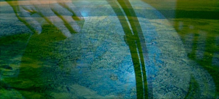 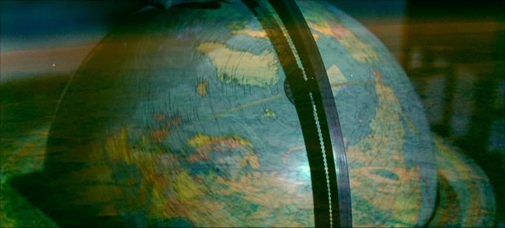 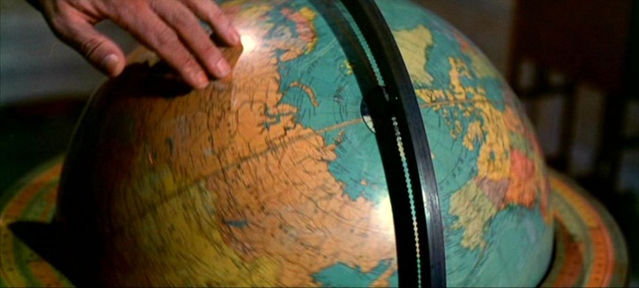 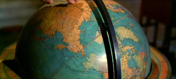 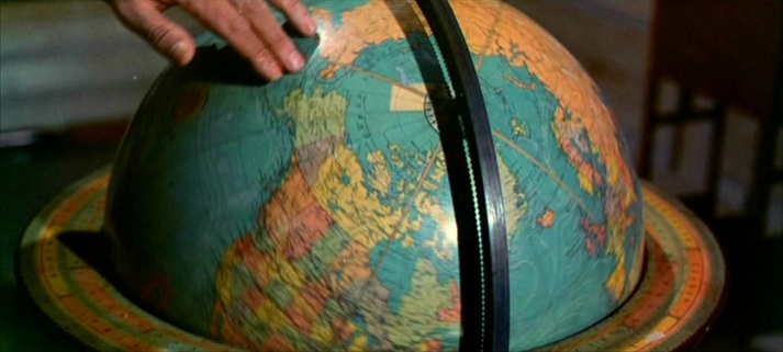 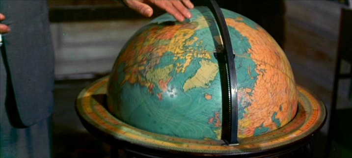 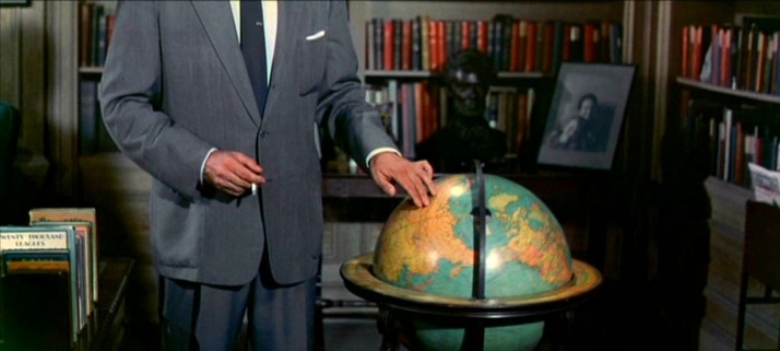 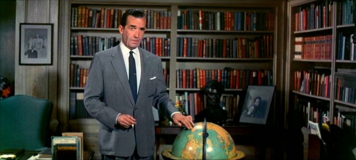 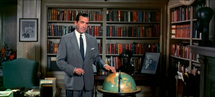 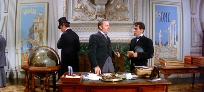 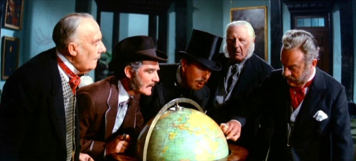 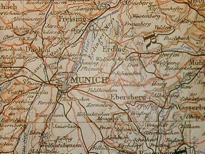 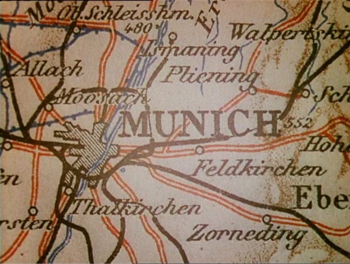 ‘The evasion of reality is marked by Clive's two- dimensionalisation, as his substantial form is replaced on the screen by an ephemera, a walking shadow, an apposite nod to Macbeth, perhaps, for consequent upon the loss of his love, Clive's hunting life is a sound and a fury, a rampaging safari, signifying nothing. A similar montage immediately after the death of Clive's wife Barbara reinforces the point. Its status as a denial of historical progress is made clear as this second speeded journey through the inter-war period culminates in 1938 with a map of Munich and strains of the German national anthem. Clive later hangs Barbara's portrait in the 'den' along with his other trophies, emphasising what is now clear. It replaces, rather than proves, virility, and undoes Clive's self-appointed status as masculine epic hero.’ Andrew Moor, Powell & Pressburger: a Cinema of Magic Spaces (London: I.B Tauris, 2005), p.75 A 'Map of Lower Egypt and the Fayum' is the background to a scene from the time of Clive's 'masculine epic heroism': 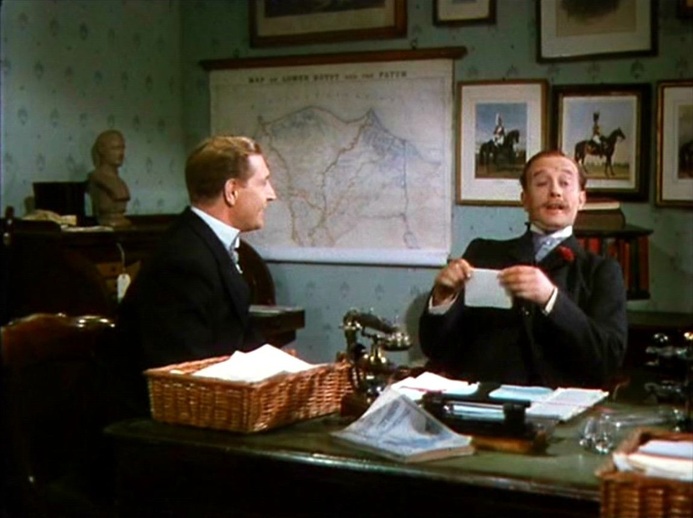 Maps of London are in the foreground of the events that will lead to his final emasculation: 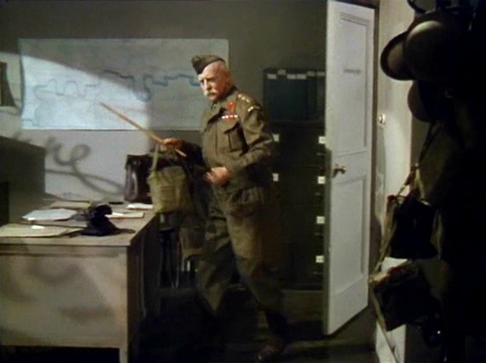 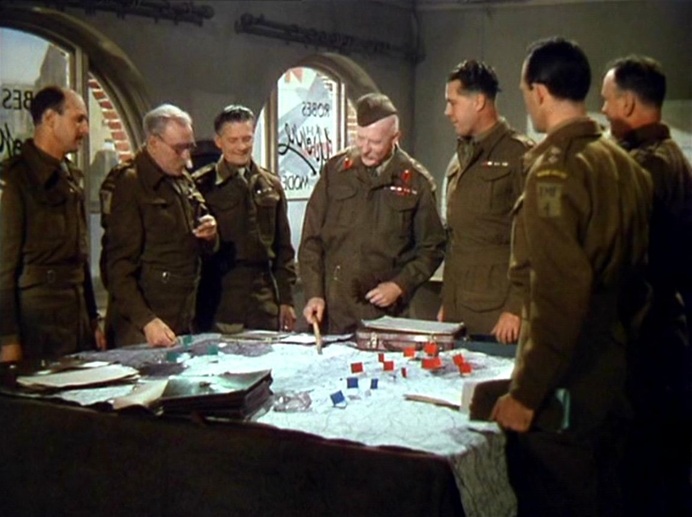 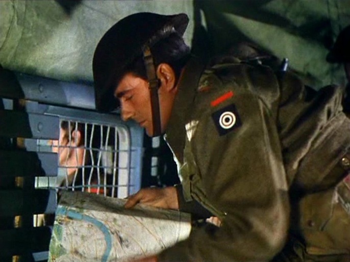 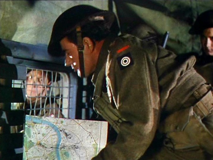 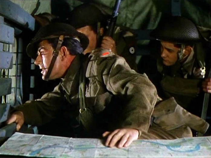 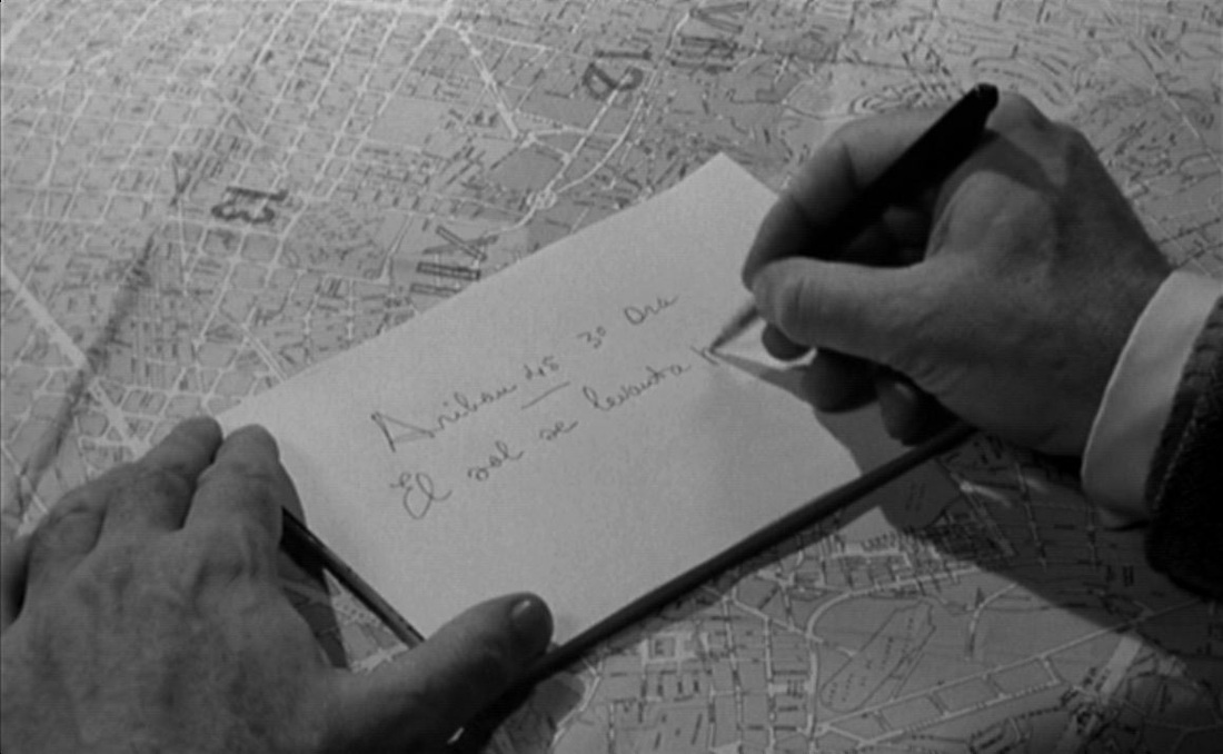 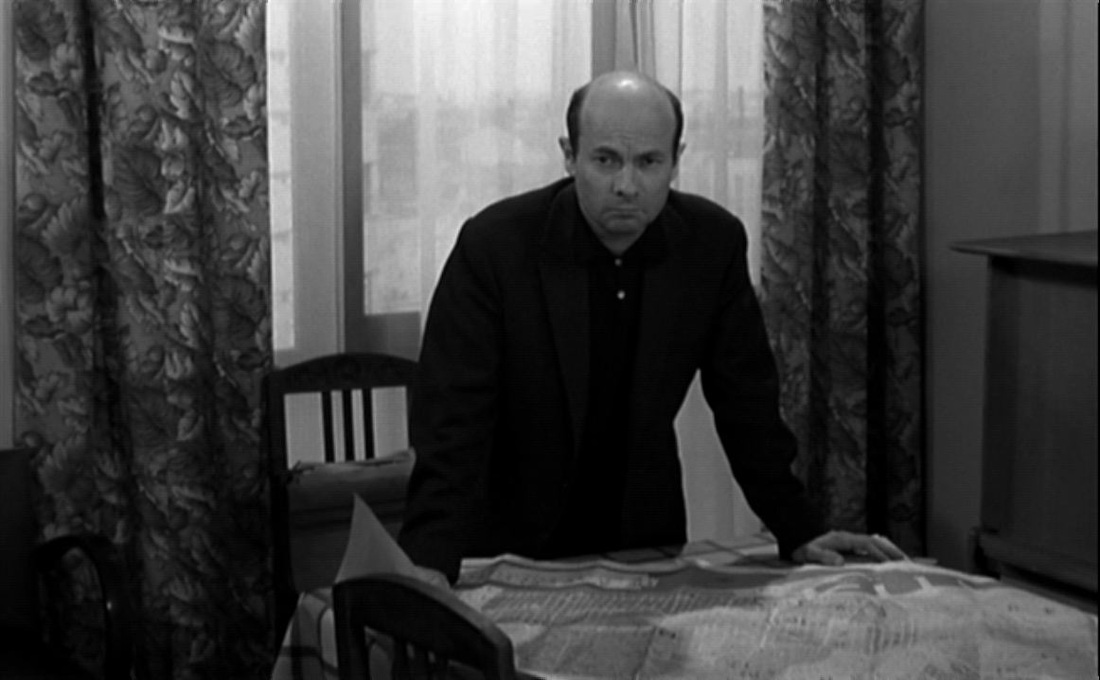 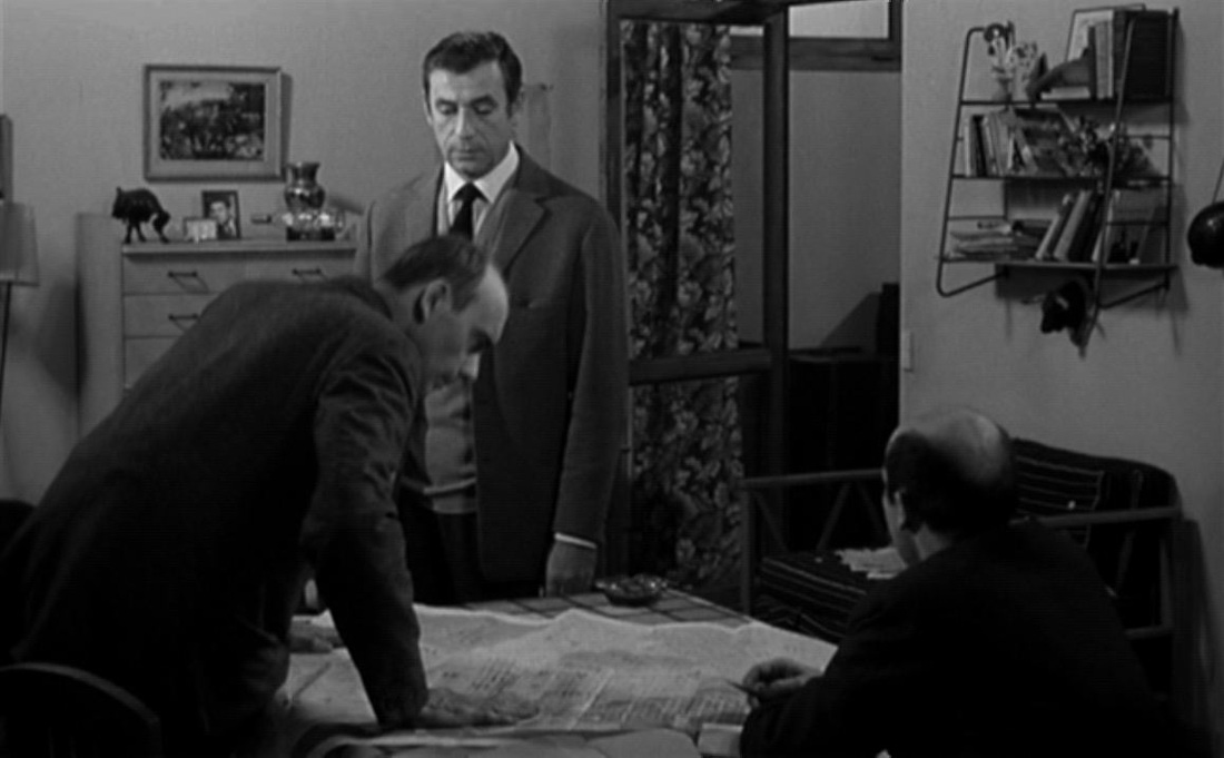 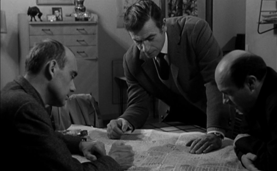 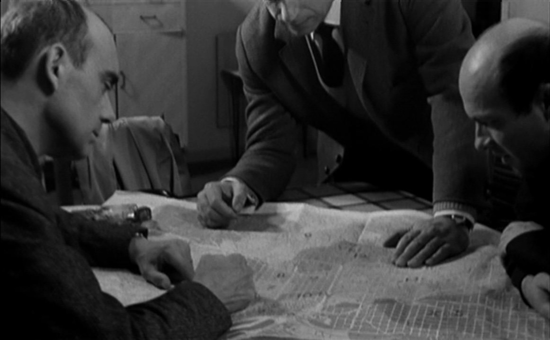 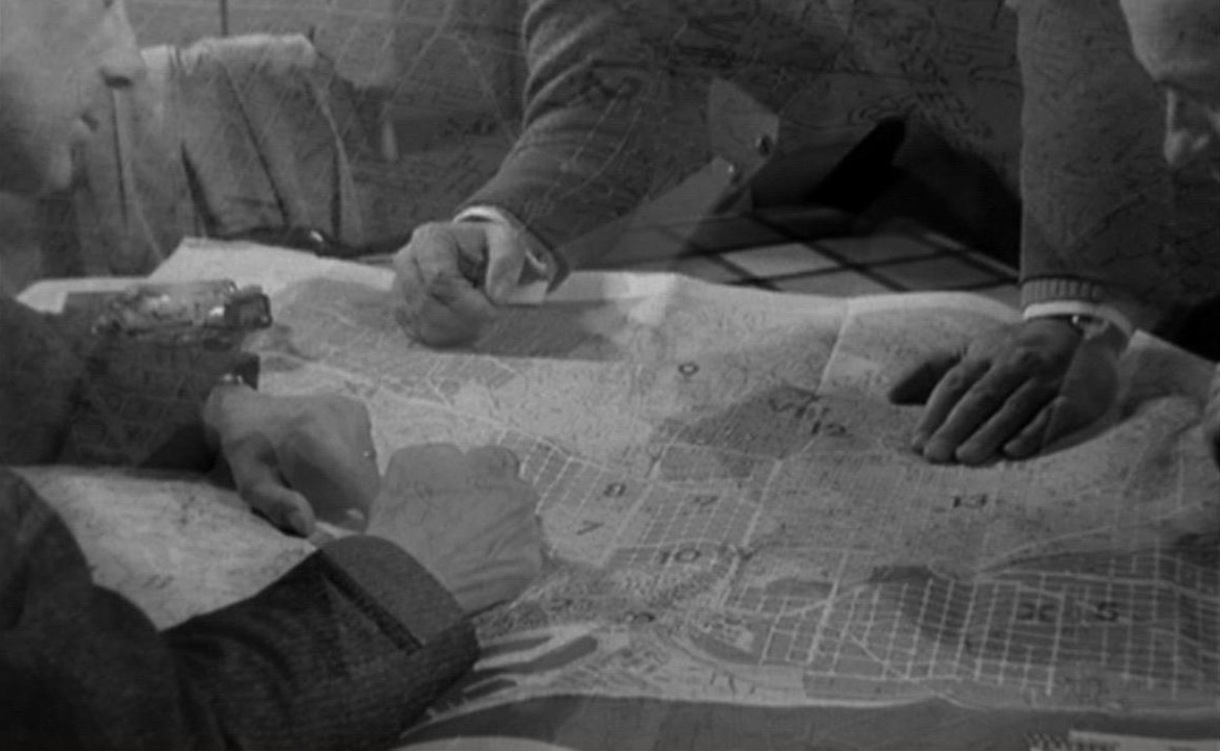 The map scene towards the end of La Guerre est finie shows that place can be exactly identified, scrutinised, negotiated. (Time, on the other hand, remains a variable, subject to subjectivity.) There are two other places with maps. The métro: 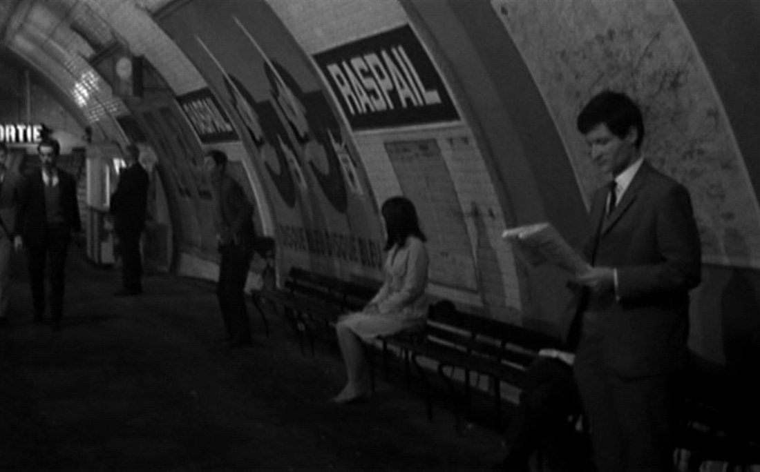 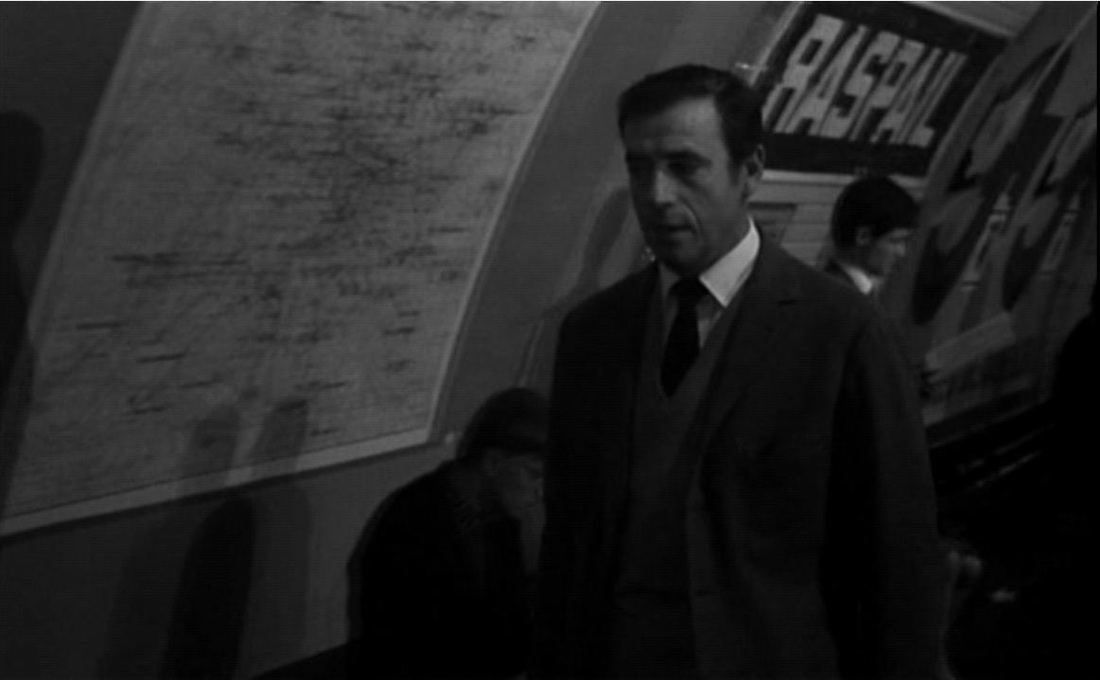 And an apartment:    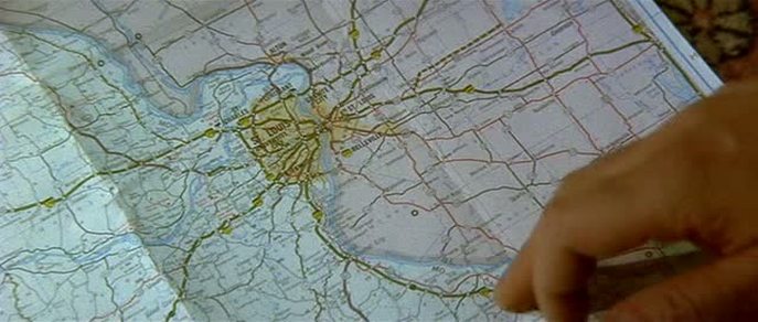 ‘This intervention of the aleatory signals the start of a proliferating structure, the fragment of music intensifying the indecision before the appearance of a map in close up. The city, roads and rivers evoke a nerve cell and its many ramifications...’.
Jean-Louis Leutrat, Resnais: l’Amour à mort (Paris: Presses de la Sorbonne Nouvelle, 1992), p.124. (En souvenir de Jean-Louis, décédé le 29 avril 2011.) 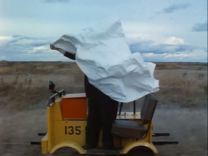 'He isn’t narrative, we can only just sense that he once was narrative; he is physical. What has happened? He is, for us, a character endowed with a certain weight and with a paper surface. We have the assurance that he is readable, that he is hidden, that nothing is written on him, hence that he is indecipherable. Even before that, it’s the certainty that this is a game, that this paper’s weight isn’t destined to last, that we alone will be able to read the map in which he has become stuck like an insect.'
Jean-Louis Schefer, 'La Carte routière', in L'Homme ordinaire du cinéma (Paris: Gallimard-Cahiers du cinéma, 1997), p.67. 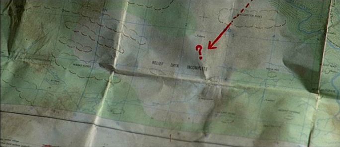 'The expression “obscured by clouds” refers to those areas that have never been cartographically surveyed since they are always blanketed in cloud.' Cosmopolis
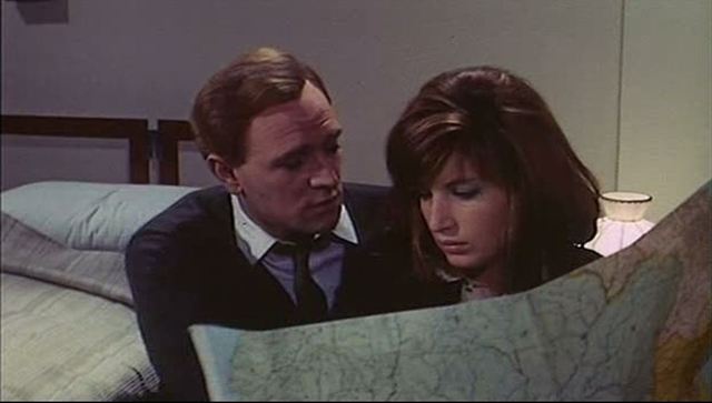 'Giuliana seeks a lover who is at home traveling the world. It is no wonder that she finds herself with him, staring at a map, in a hotel room that changes tones -- that is, whose color literally shifts with the emotion of her erotic perception.' Giuliana Bruno, Atlas of Emotion: Journeys in Art, Architecture, and Film (London: Verso, 2002), p.97. 'Maps of Patagonia appear in several scenes in order to allude to the emerging international division of labour.' Matthew Gandy, 'Landscapes of deliquescence in Antonioni's The Red Desert', Transactions of the Institute of British Geographers, 28: 2 (2003), p.221. |